We're excited to announce that we've undergone a complete website redesign to enhance your browsing experience! Our fresh new look is designed to make navigation easier and content more accessible. Click here to be taken to the new OSPO homepage. Should you have any questions please reach out to the OSPO Webmaster.
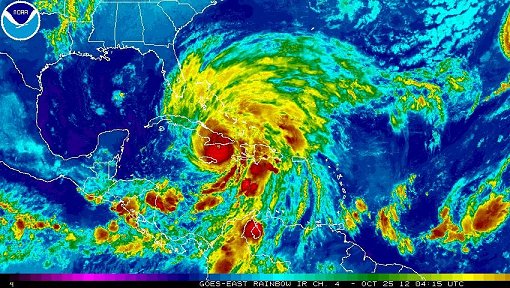
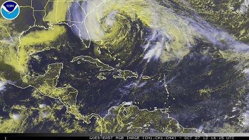
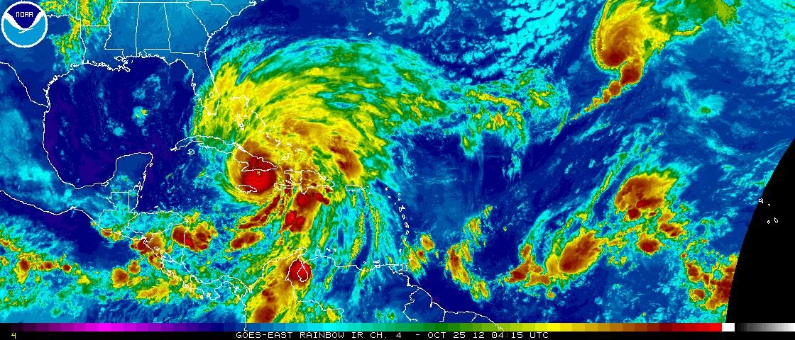
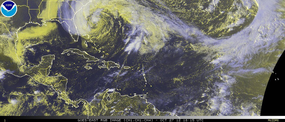
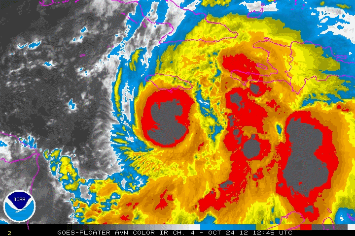
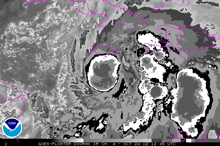
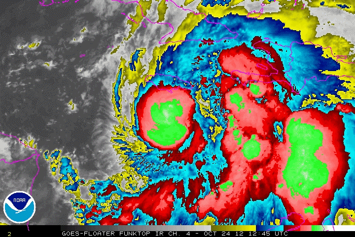
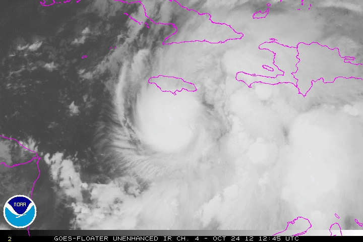
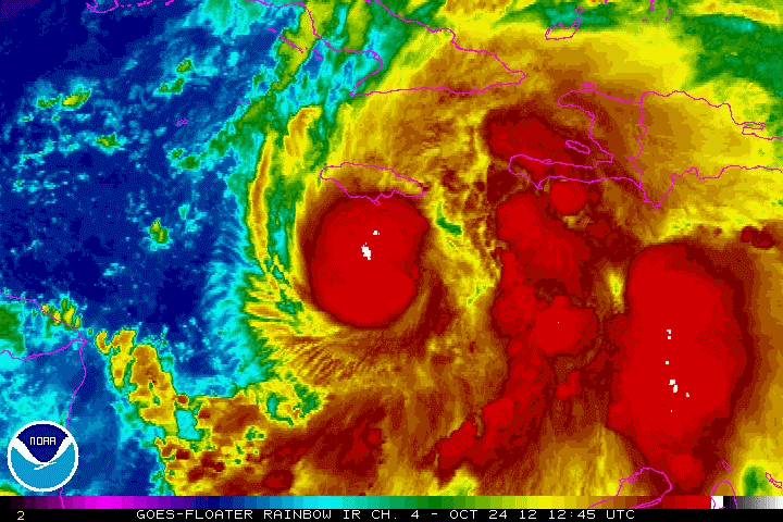
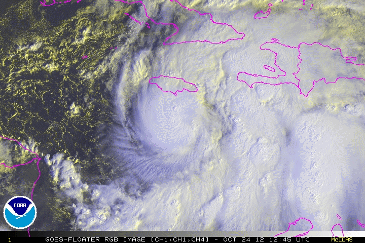
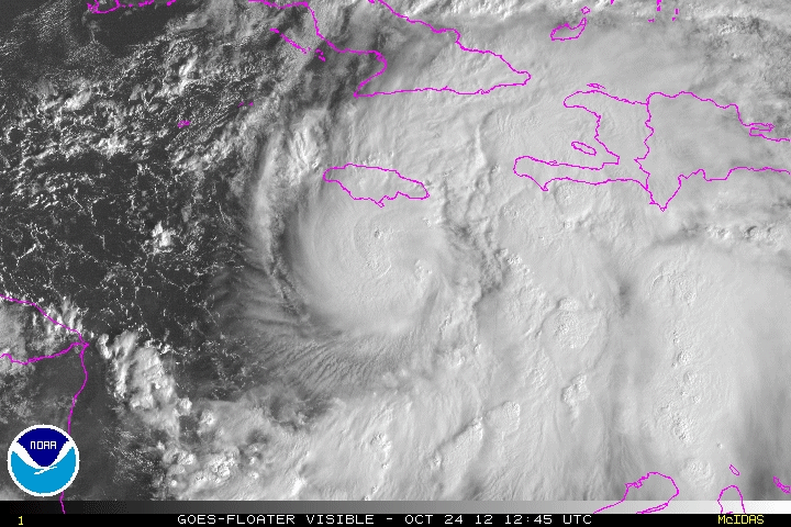
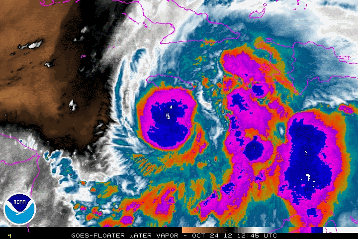
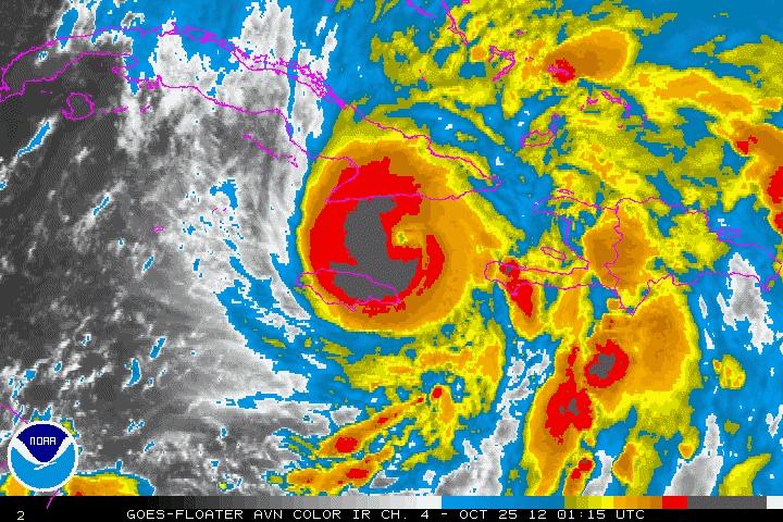
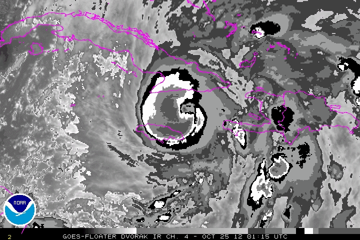
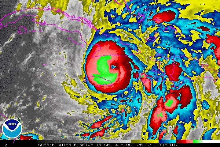
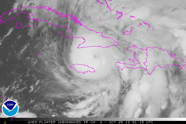
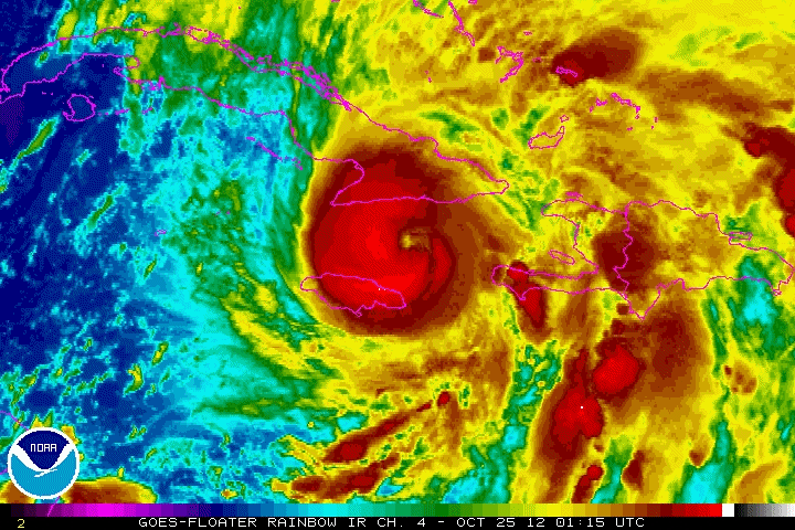
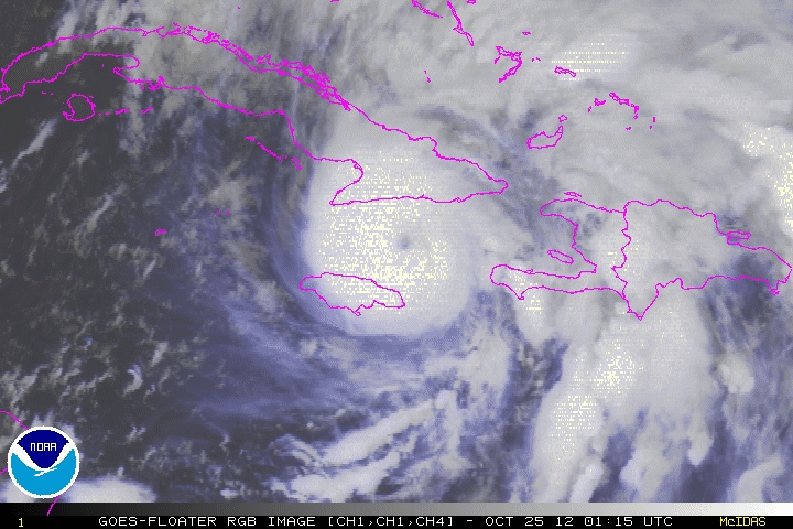
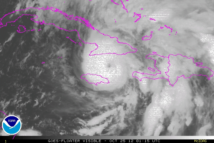
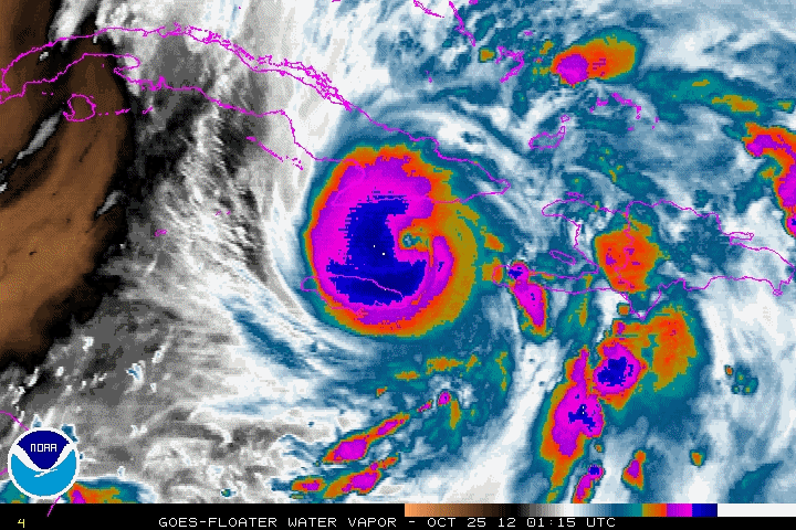
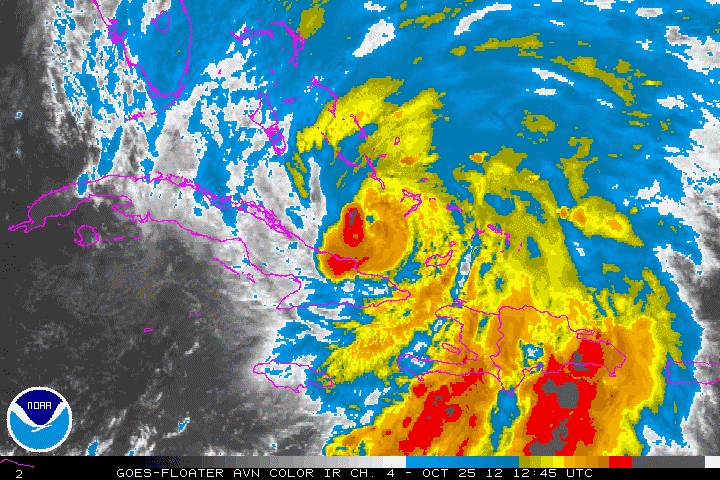
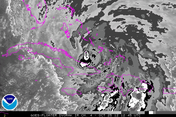
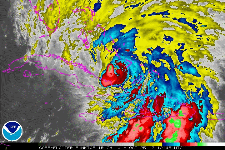
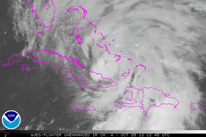
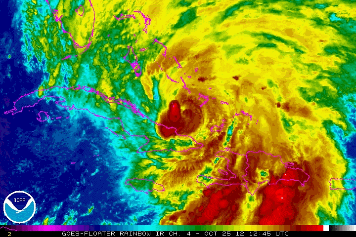
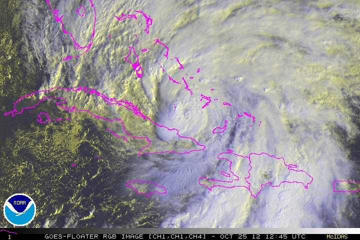
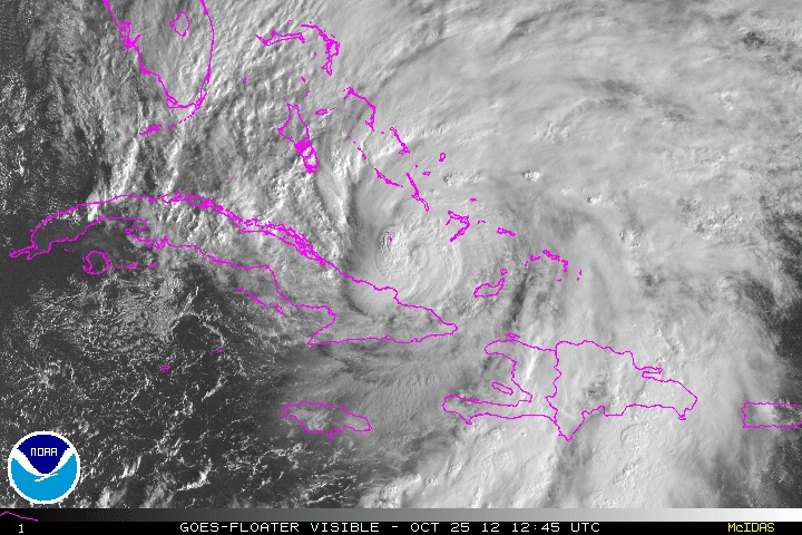
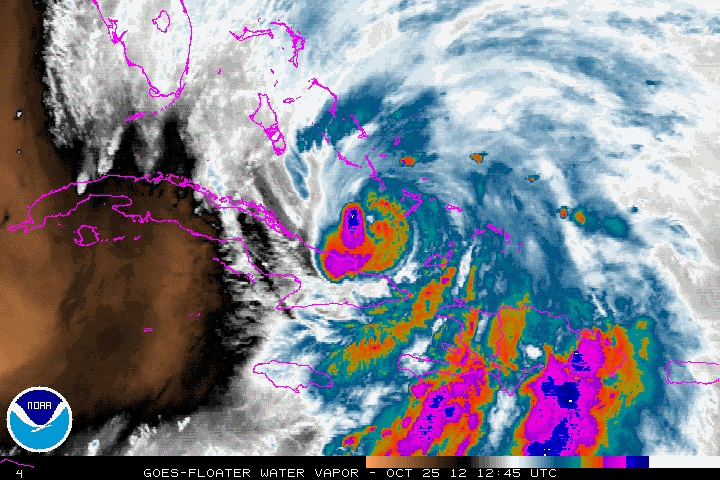
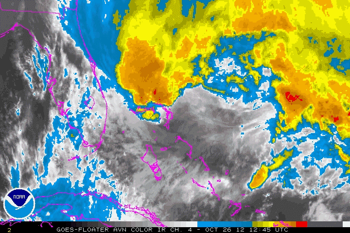
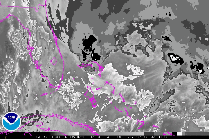
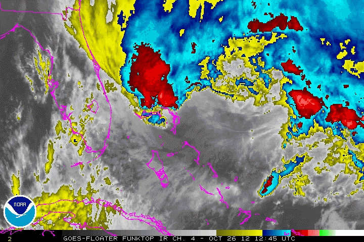
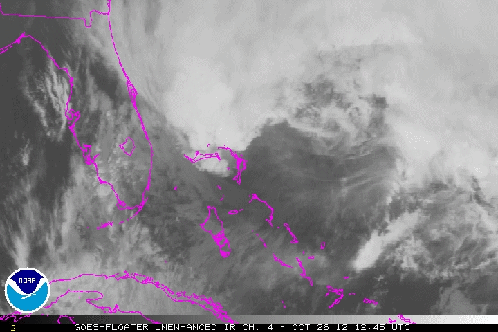
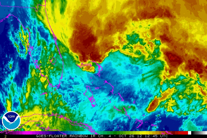
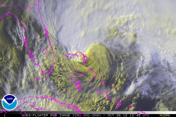
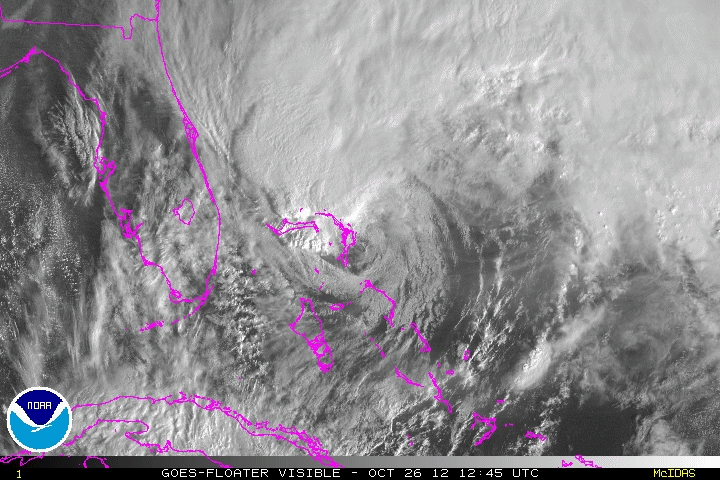
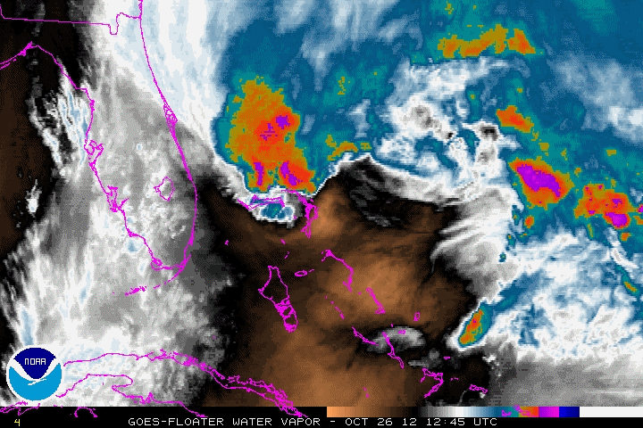
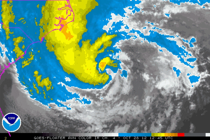
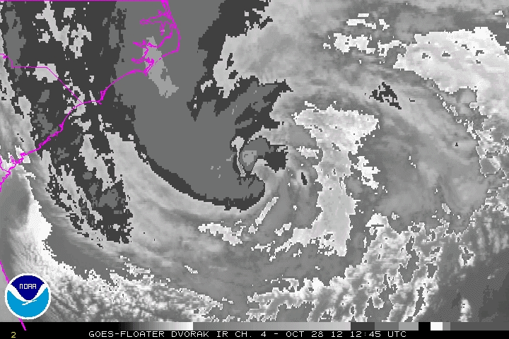
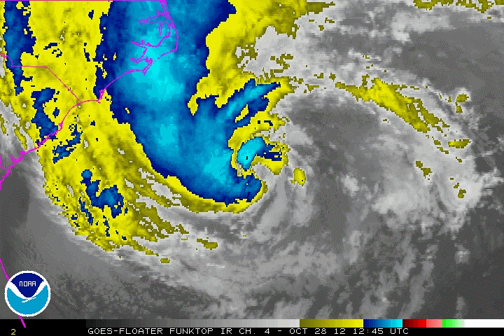
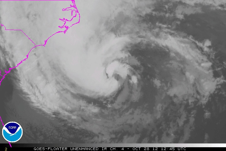
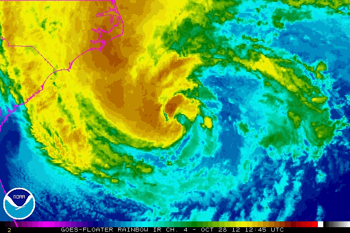
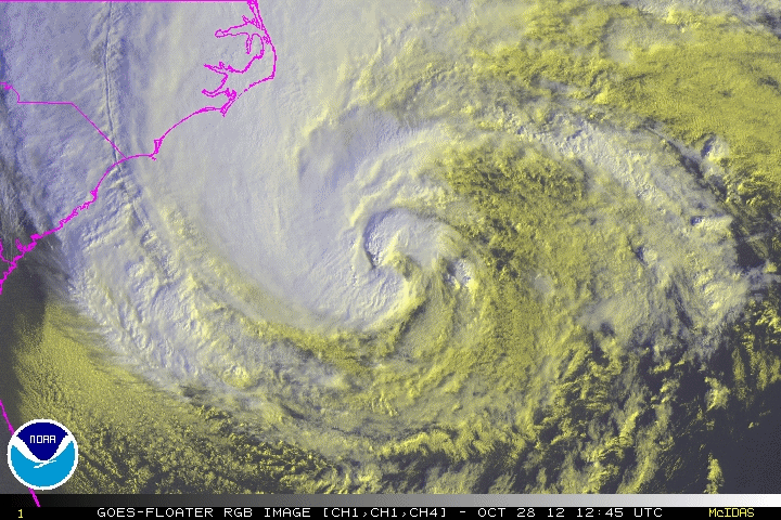
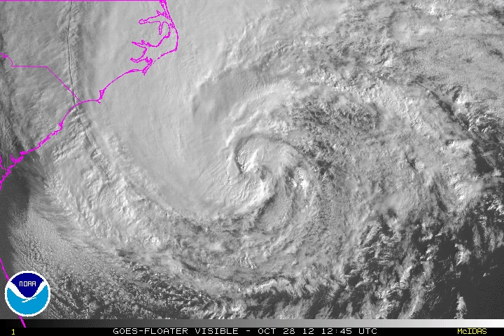
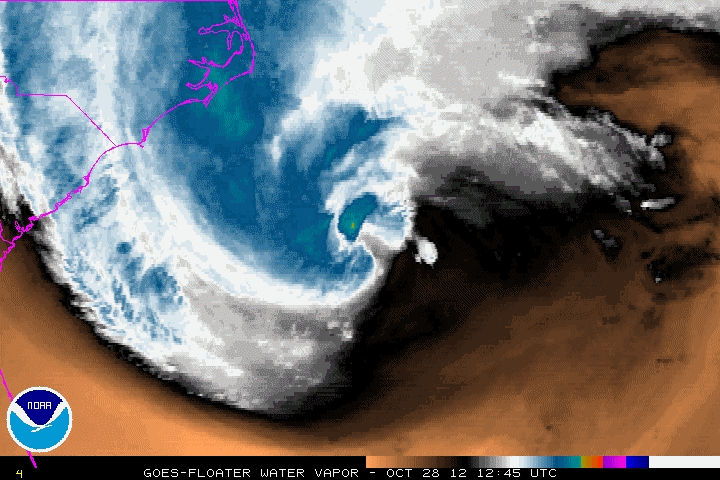
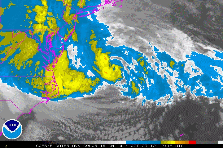
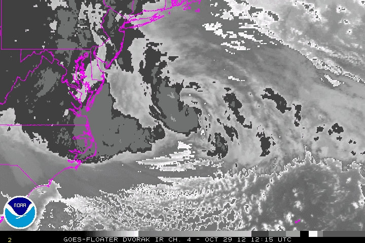
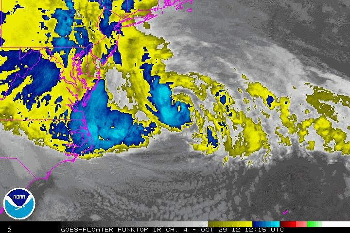
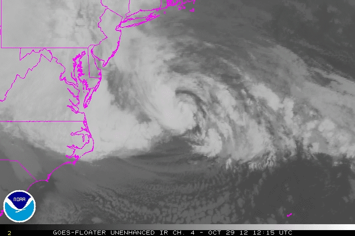
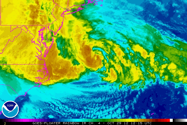
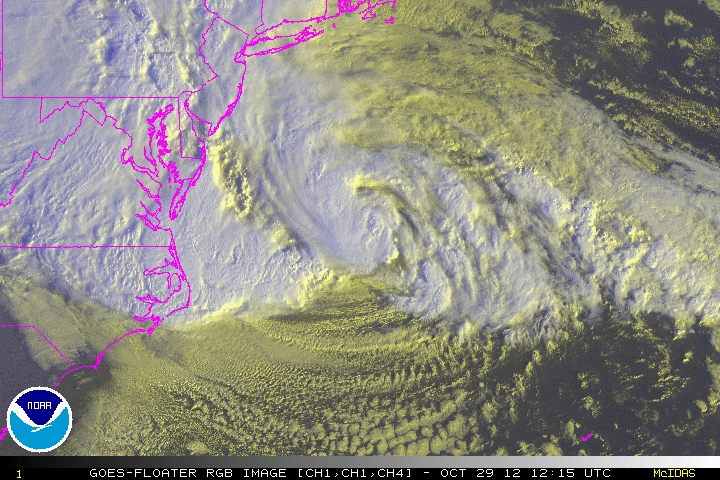
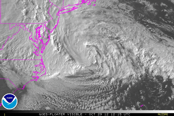
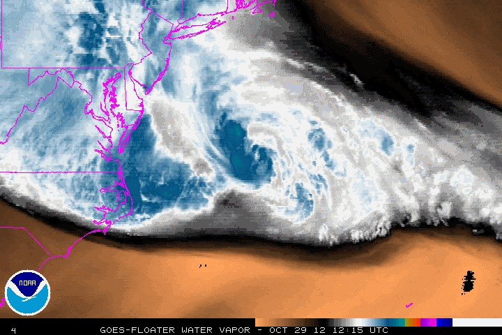
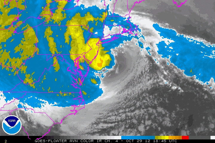
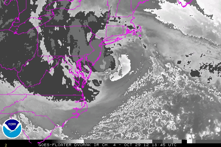
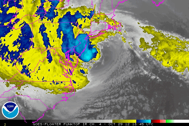
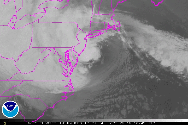
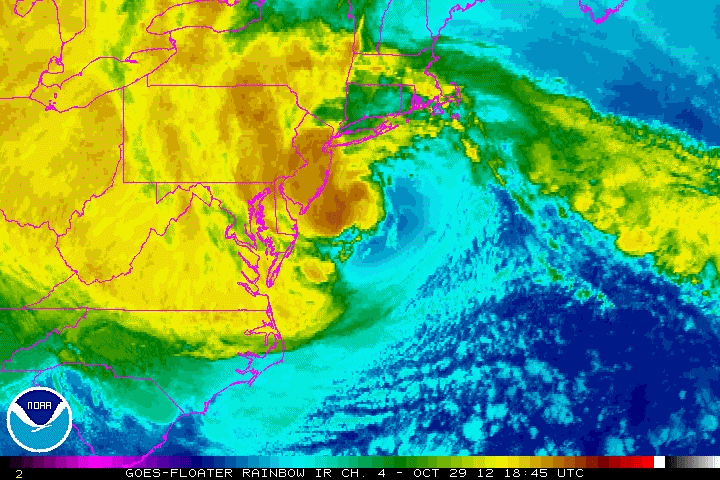
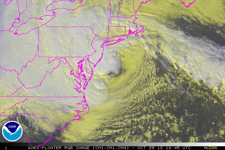
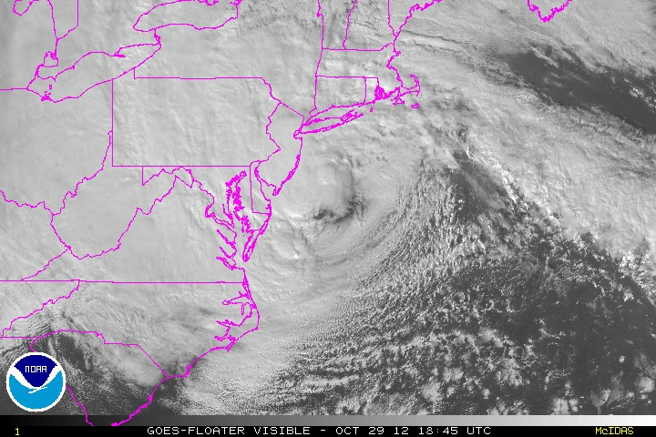
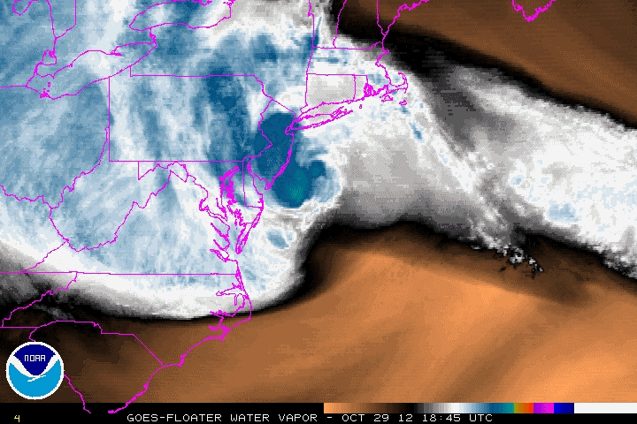
| Selected Sandy Animated Gifs These files are 1-2 Mb in size, Approaching Jamaica: At Peak intensity striking Cuba: Southern Bahamas Northern Bahamas East of Myrtle Beach, South Carolina Mid-Atlantic (Delaware) Landfall in New Jersey More complete list of Animated GIFs Image enhancement and abbreviation information |