We're excited to announce that we've undergone a complete website redesign to enhance your browsing experience! Our fresh new look is designed to make navigation easier and content more accessible. Click here to be taken to the new OSPO homepage. Should you have any questions please reach out to the OSPO Webmaster.
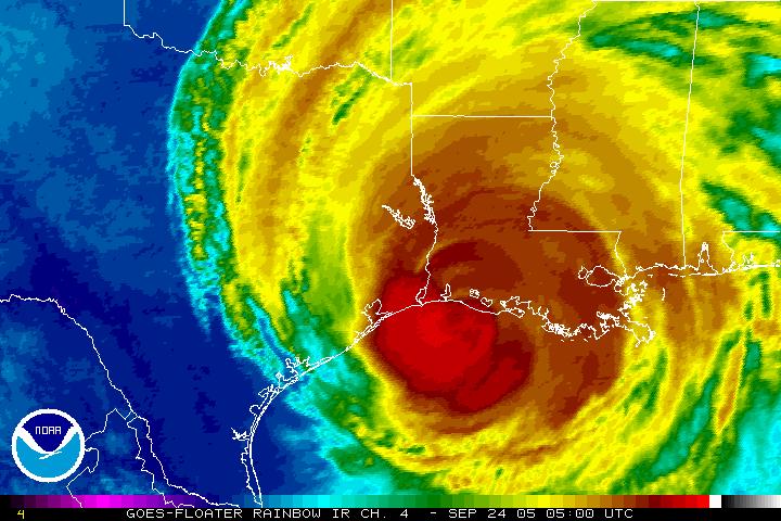
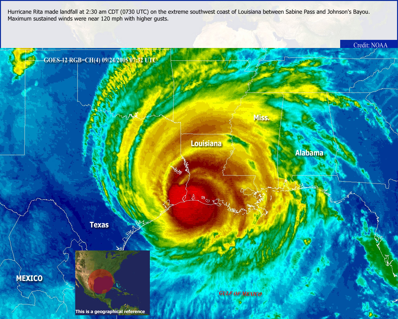
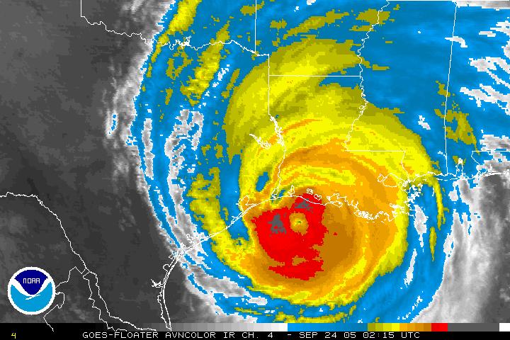
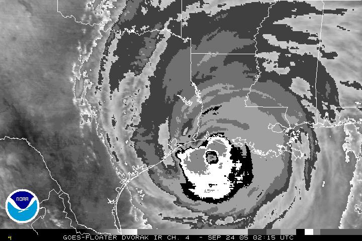
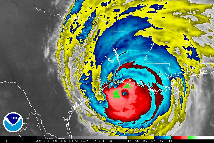
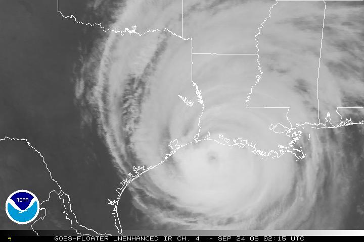
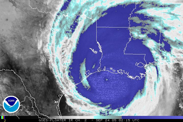
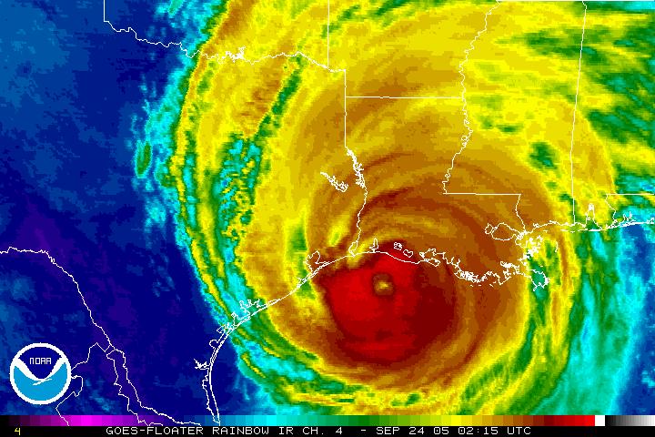
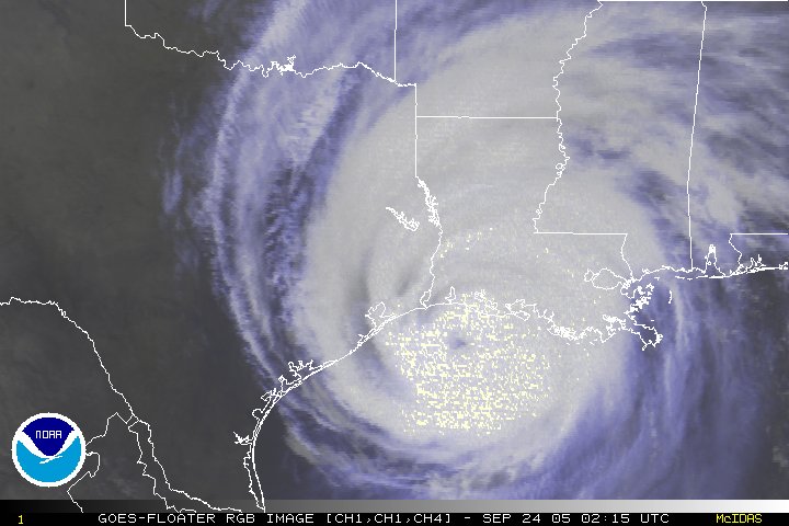
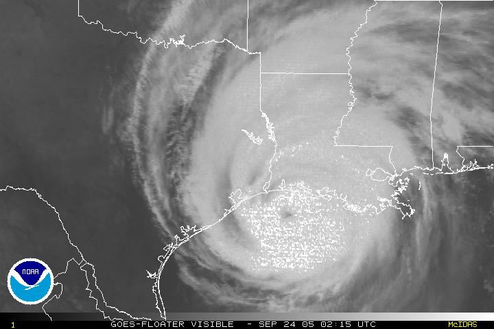
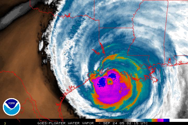
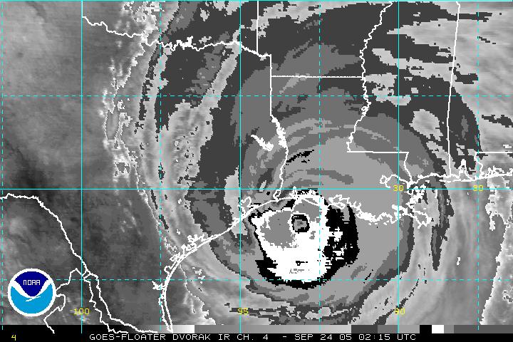
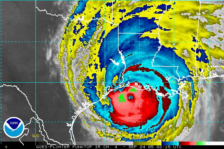
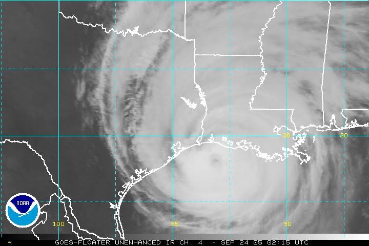
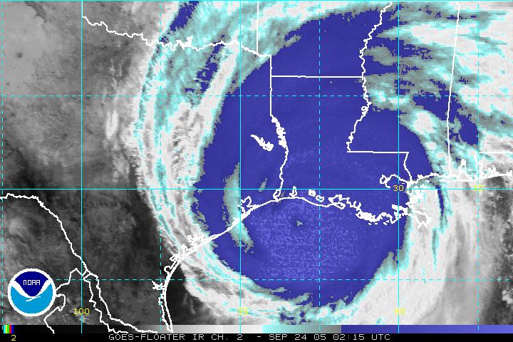
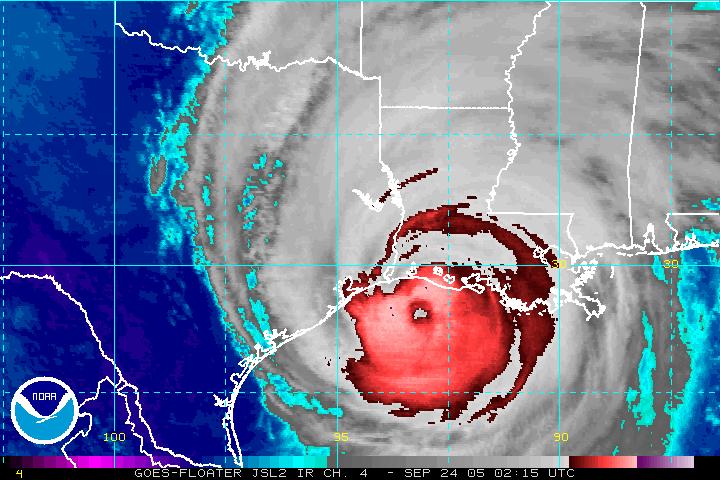
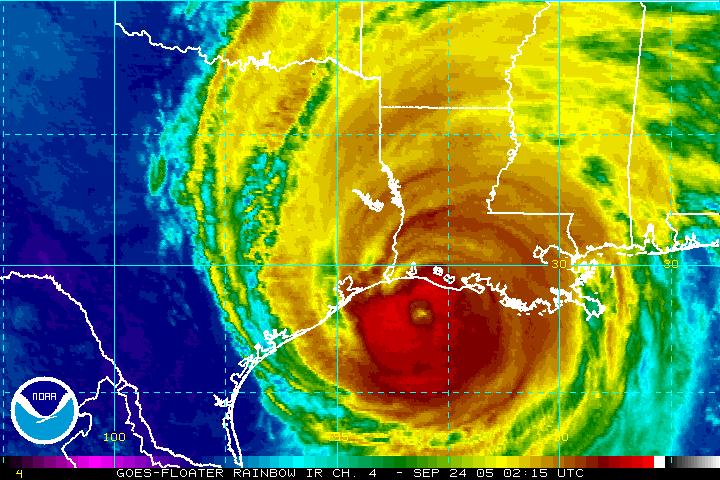
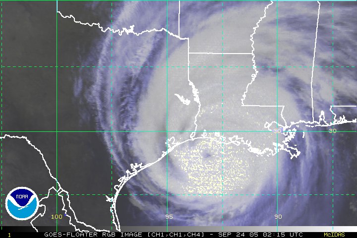
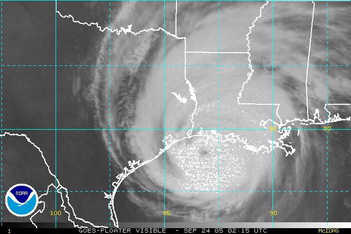
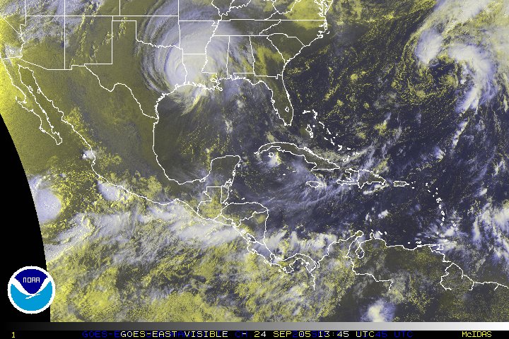
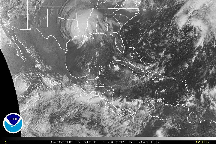
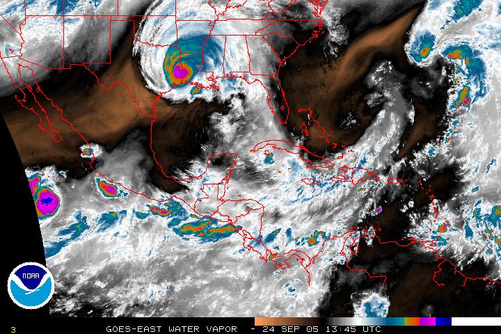
Images of Hurricane Rita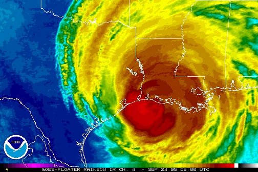 Hurricane Rita, 05:00Z, September 24, 2005 – About 40 miles south-southeast of Sabine Pass along the Gulf Coast at the Texas/Louisiana border.

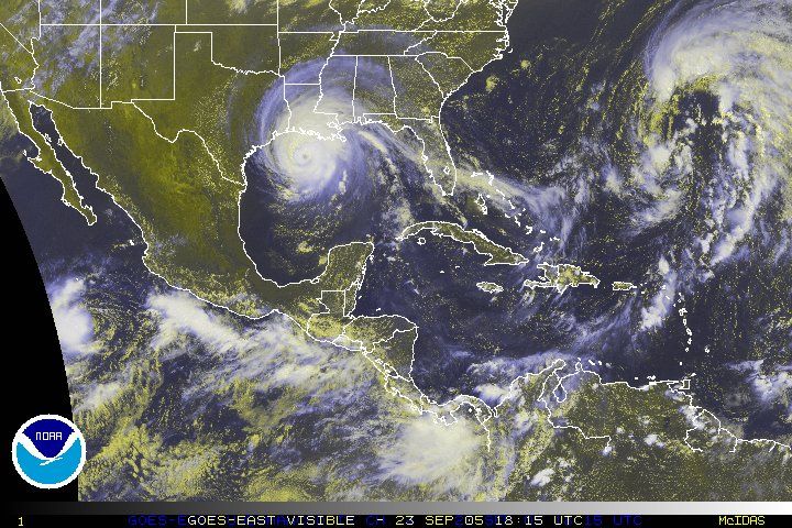
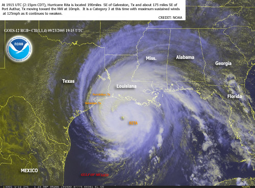
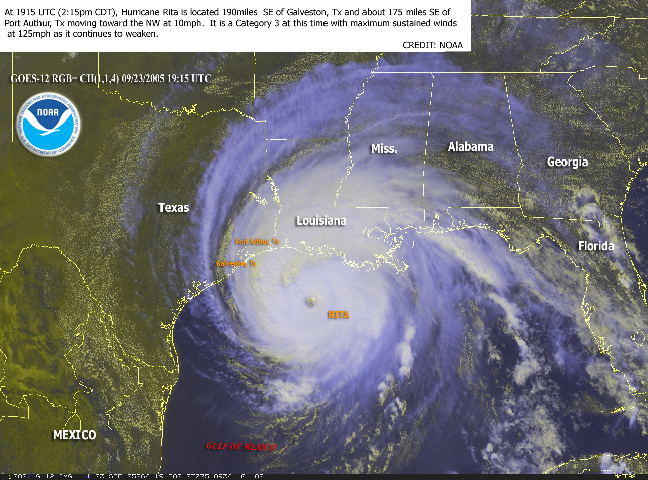
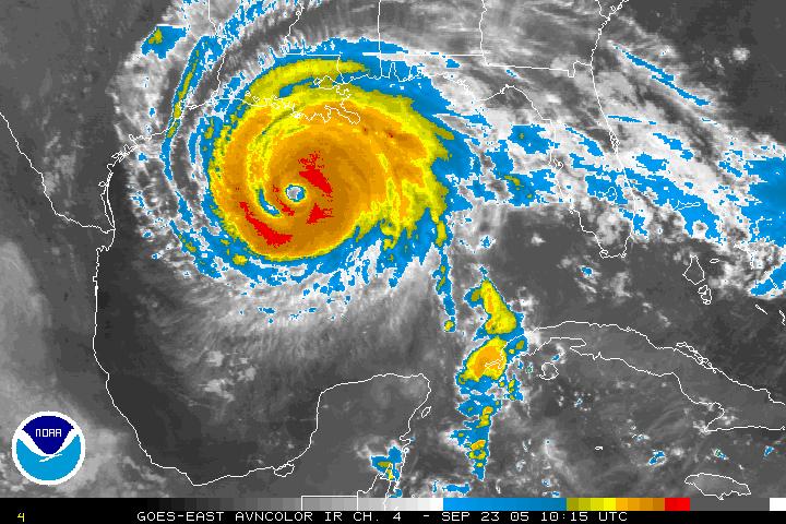
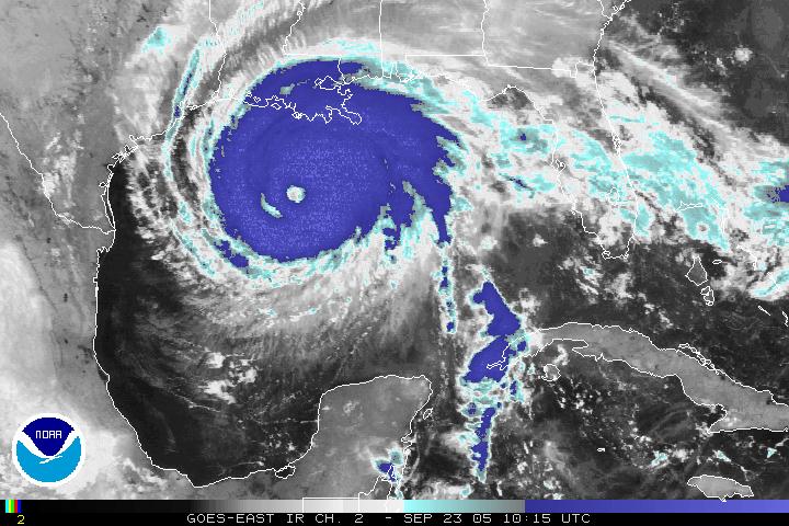
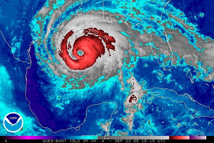
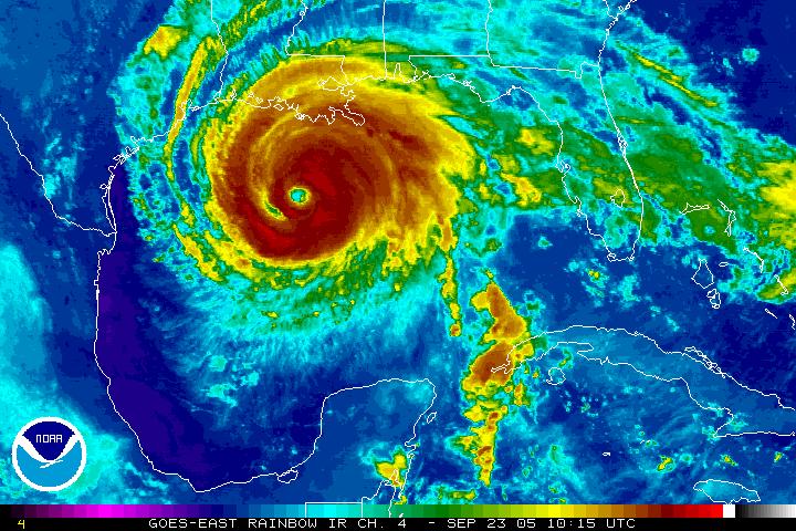
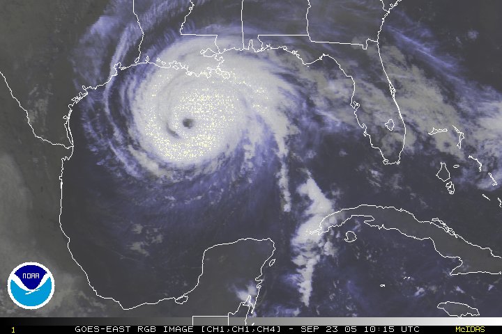
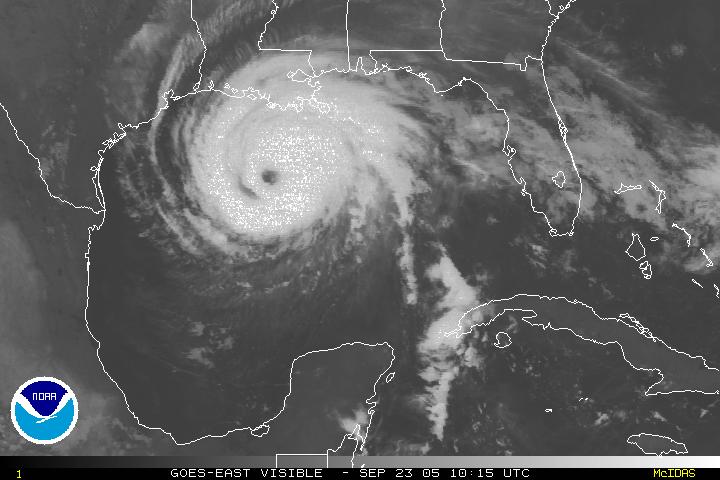
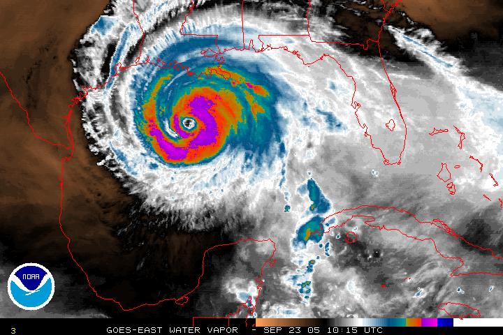
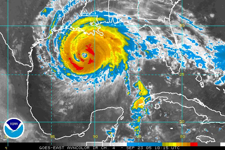
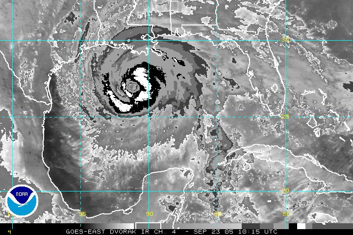
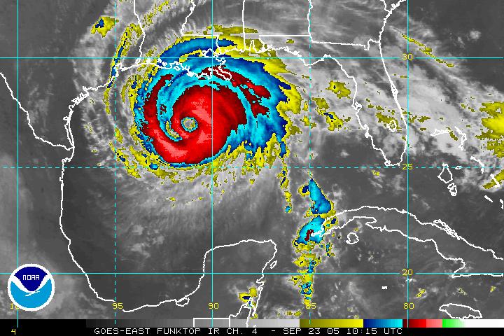
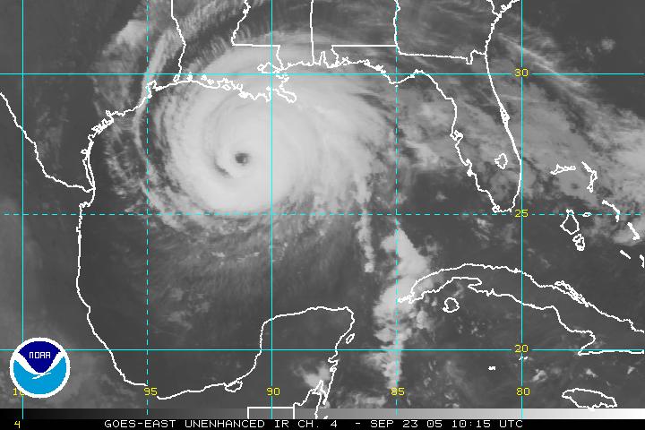
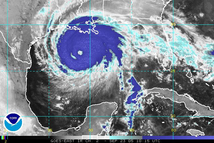
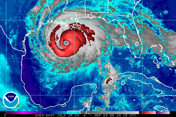
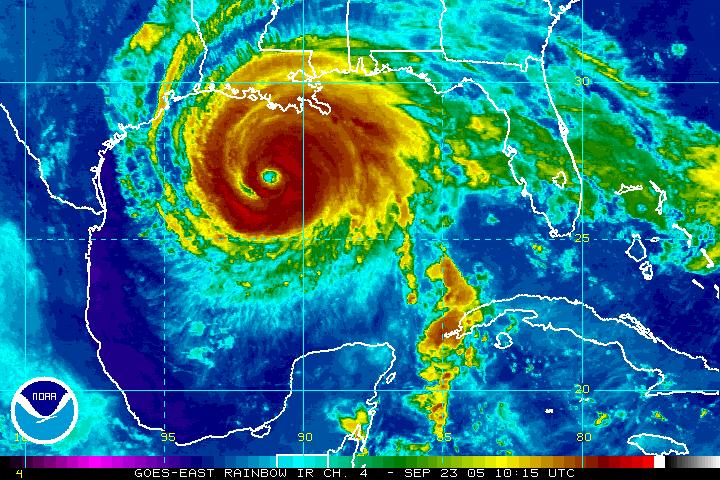
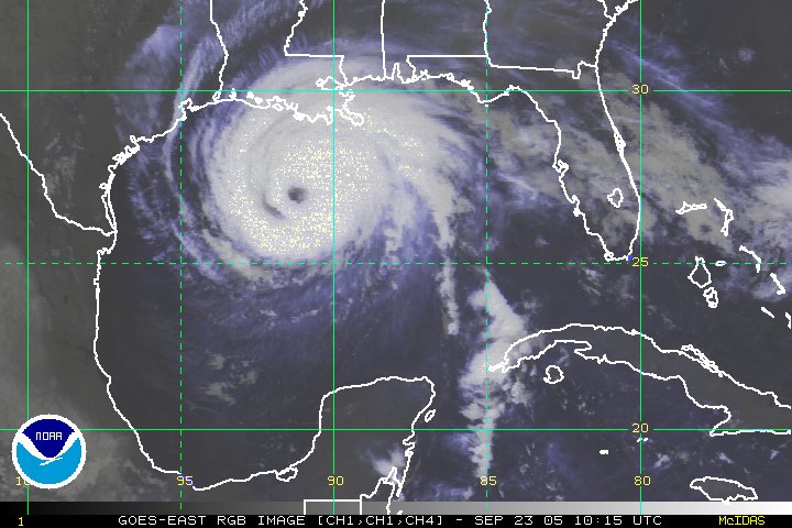
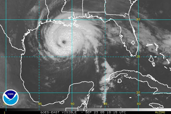
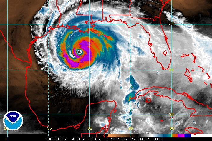
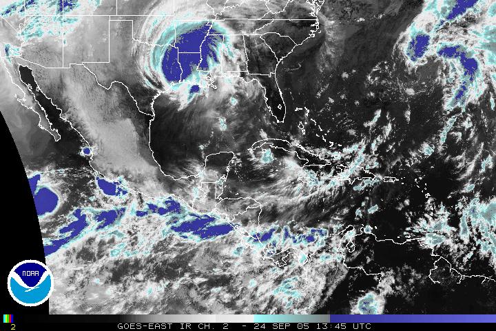
Hurricane Rita, 18:15Z, September 23, 2005 – About 190 miles southeast of Galveston Texas and about 175 miles southeast of Port Arthur Texas.
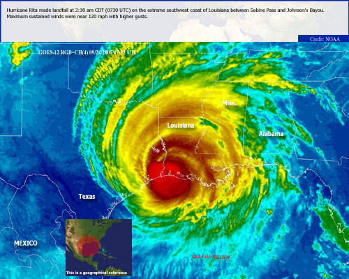
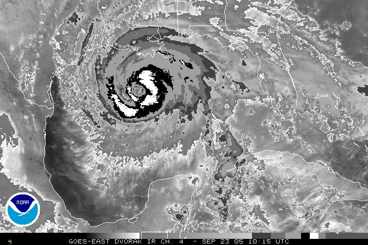
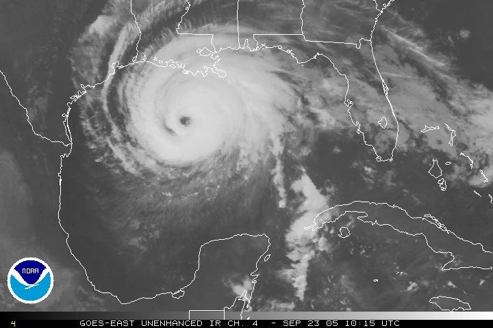
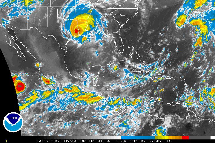
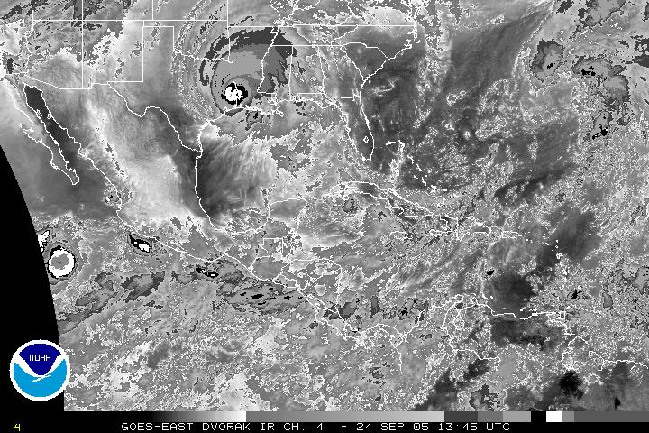
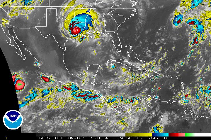
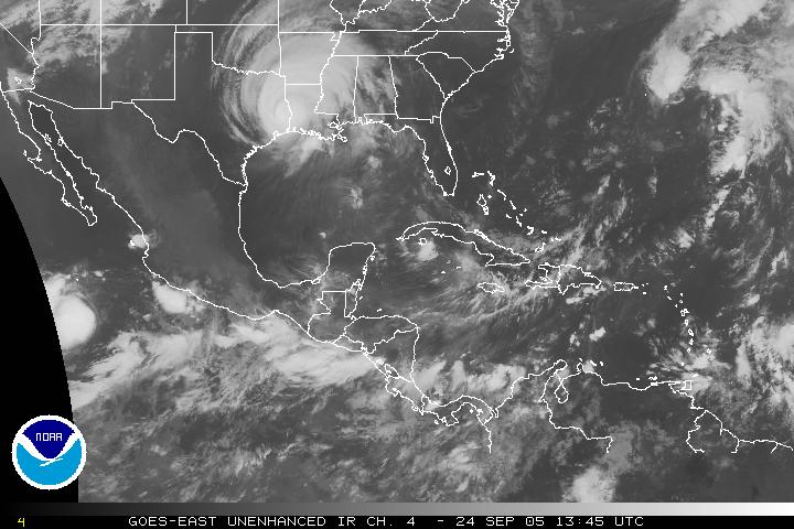
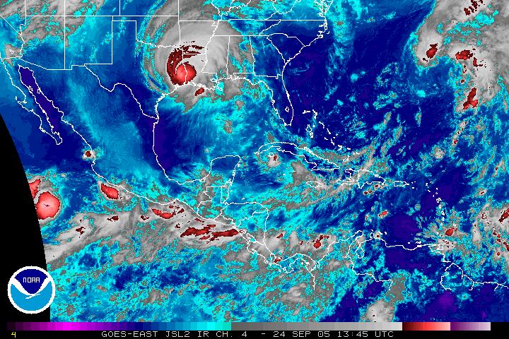
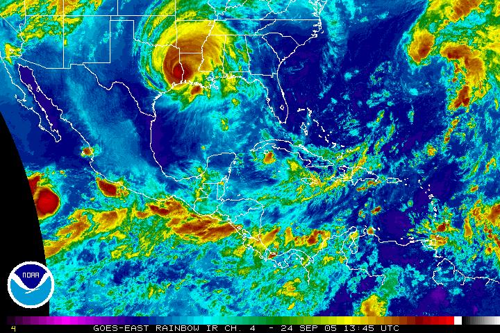
Hurricane Rita Operational Significant Event Images
National Hurricane Center Tropical Cyclone Report and Advisory Archive.
|
Floater Imagery Gulf Of Mexico Imagery Western Atlantic Imagery Downloadable AVI Files Gulf Of Mexico Tropical Rainfall Potential (TRaP) Rain Rate |